
Cookie preferences
This website uses cookies, which are necessary for the technical operation of the website and are always set. Other cookies, which increase the comfort when using this website, are used for advertising or to facilitate interaction with other services and applications, are only set with your consent.
Configuration
Technically required
These cookies are necessary for the basic functions of the shop.
"Allow all cookies" cookie
"Decline all cookies" cookie
CSRF token
Cookie preferences
Currency change
Customer recognition
Customer-specific caching
Individual prices
Selected shop
Session
Comfort functions
These cookies are used to make the shopping experience even more appealing, for example for the recognition of the visitor.
Note
Statistics & Tracking
Affiliate program
Google Ads
Google Analytics
Google Tag Manager
Track device being used
DJI Terra Pro - Annual License




*1,548.99€
Content: 1 pcs.
* Prices incl. VAT
Free shipping
Delivery: after payment received
- Order number: 101627

Questions about the product? Just ask here!
Would you rather speak with the MusoTec team? You'll find the contact options above!
DJI Terra - Digitize the world Analyze and visualize your environment with DJI Terra,... more
DJI Terra Pro - Annual License
DJI Terra - Digitize the world
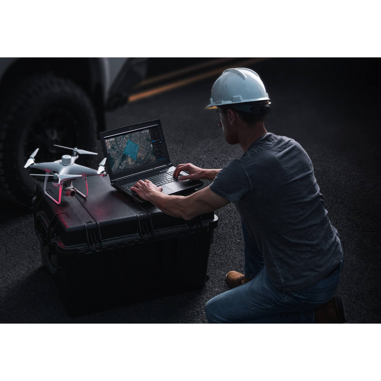
Analyze and visualize your environment with DJI Terra, an easy-to-use mapping solution for industry professionals to professionally generate digital data from real-world scenarios.
Plan Process Analyze and Execute
Planning of flight orders
Data acquisition
Area Mapping
Data analysis
Order types
Waypoint planning
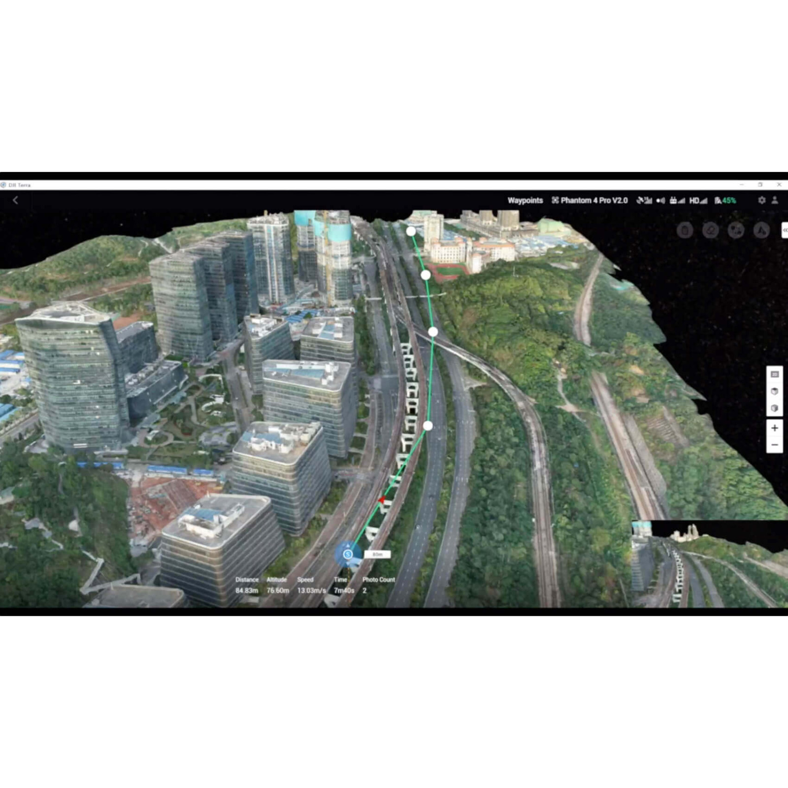
Create efficient flight routes with predefined actions at the respective waypoints. Key functions such as speed, altitude and gimbal orientation can be set before the flight. For more complex flight assignments and flights in cramped conditions that require a very high level of detail, 3D flight visualization is now available to plan and simulate flights in existing 3D models.
Area Planning
Complex flight orders can be automated in just a few steps, making it much easier to create maps and models for further analysis.
Oblique image planning
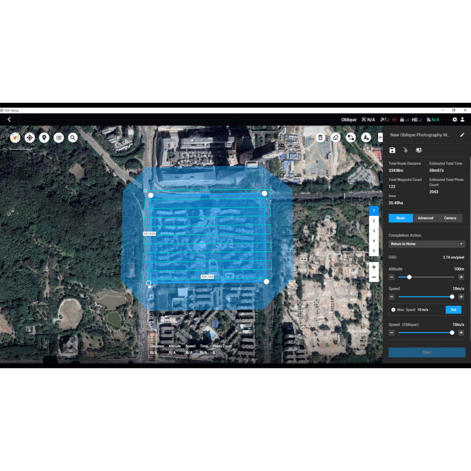
When precision is essential and a high level of detail is essential, flight orders with oblique shots offer the possibility to create detailed 3D models. Here, the camera takes pictures from an angle of inclination in order to obtain an even sharper and more detailed picture of the target object.
Mapping
Real-time mapping
Real-time mapping provides the ability to quickly create a 2D orthomosaic of a selected area. This is not only ideal for creating detailed flight routes in remote areas, but also for jobs with limited time windows.
2D Reconstruction
Generate high-resolution orthomosaics to obtain precise measurement results for important projects.
3D Reconstruction
Get a razor-sharp and realistic representation of an area. This technology can be used for a variety of industrial applications, such as construction progress and accident reconstruction.
Data Analysis
2D and 3D measurements:
Capture the dimensions of an area with easy-to-use measurement tools for distances, areas and volumes.
Coordinates
Distance
Area
Volume
Notes
Add annotations to existing models, which can improve communication throughout a project.
Inspections through detailed photos
Photos with a 3D reference point can be displayed separately on demand. The data of the 3D models and photos gives you more freedom for inspections and the double possibility to check details.
Seamless integration with DJI drones
DJI Terra is compatible with the following P4 Series drones:
P4 RTK
P4 Pro V2.0
P4 Pro+ V2.0
P4 Pro
P4 Advanced
P4.
Start of a new generation of mapping solutions
Use the latest mapping solutions with AI technology and take industrial projects to a new level of possibilities. Be it object classification or inspections, develop task-specific mapping solutions to carry out your orders.
Data acquisition
Define destinations, plan flight orders and automate data acquisition from the air.
Data processing
Use image recognition technology and generate data in 2D and 3D for a more realistic representation of your target object, the environment or the entire infrastructure.
Data processing
Use tools and techniques from the field of machine learning, which can be applied in many different industries for classification according to need.
Execution
Automate processes with machine control and use the results efficiently in areas such as pest control, construction progress monitoring and material handling.
Viewed