
DJI Terra Electricity - Annual License




* Prices incl. VAT
Free shipping
Delivery: after payment received
- Order number: 102619

Would you rather speak with the MusoTec team? You'll find the contact options above!
DJI Terra Electricity - Annual License
DJI Terra - Make the World Your Digital Asset
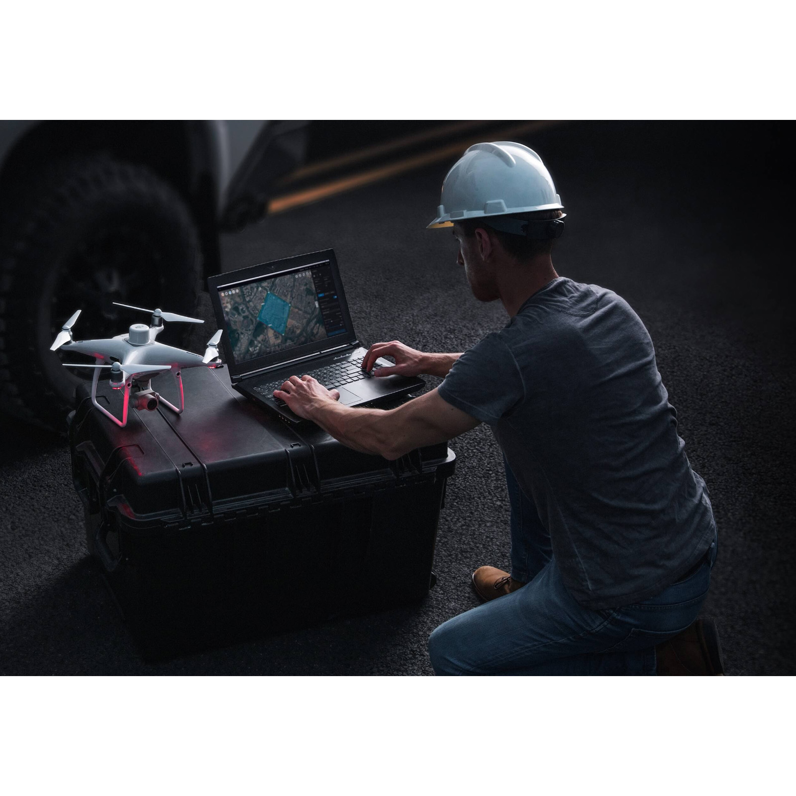
Capture, analyze and visualize your environment with DJI Terra – an easy to use mapping software developed to help industry professionals transform real-world scenarios into digital assets.
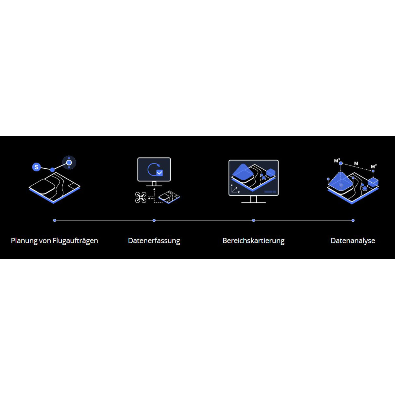
Plan. Process. Analyze and Execute.
-
Mission Planning
-
Data Acquisition
-
Area Mapping
-
Data Analysis
Mission Type
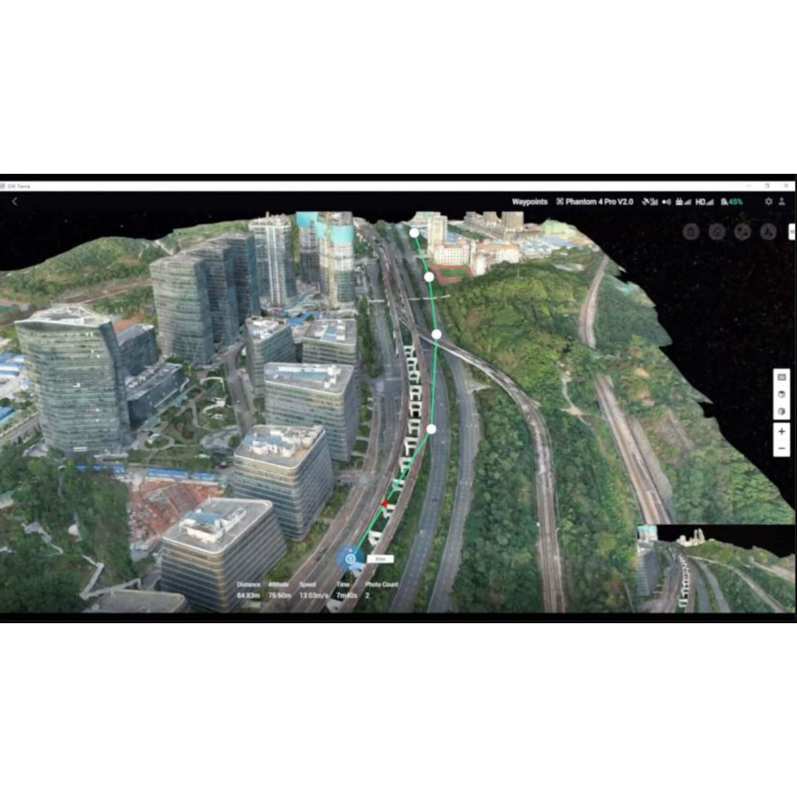
Waypoints Mission Planning
Create efficient flight paths using predefined waypoint actions and adjustable parameters like altitude, speed, gimbal pitch angle, aircraft heading and more. For more complex and tight missions that require high attention to detail, use 3D Flight Visualization to design and simulate tasks on existing 3D models.
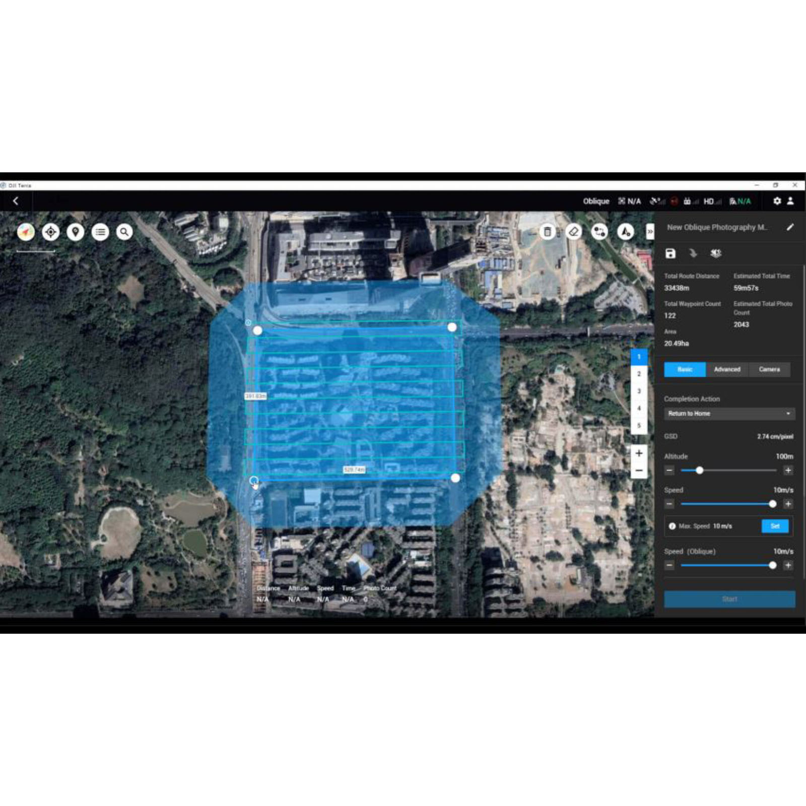
Area Mission Planning
With just a few taps on the screen, you can automate complex missions, allowing you to seamlessly capture imagery which can be processed to produce a variety of maps and models for further analysis, and to aid decision-making.
Oblique Mission Planning
When accuracy is essential and details are vital to your critical operations, Oblique lets you capture a rich 3D model data set by adjusting the angle of the camera at a tilted angle, giving you an extra crisp view of the asset.
Mapping
Real-time Mapping
Quickly generate a 2D orthomosaic of the selected area in real-time. Not only is this ideal for creating detailed flight paths in remote areas but it’s also useful for time-sensitive missions that require quick decision-making on site.
2D Reconstruction
Generate high resolution orthomosaics, enabling you to get detailed and accurate measurement results for all your critical Projects.
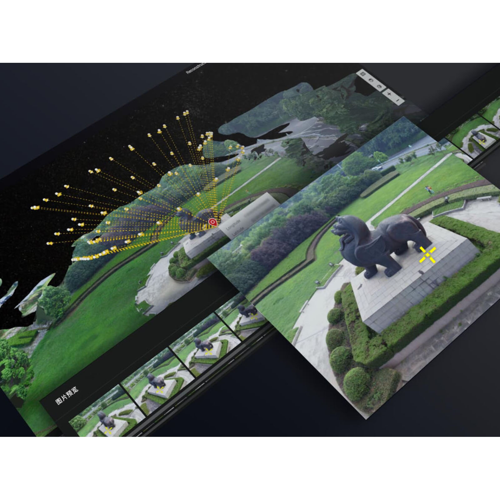
3D-Rekonstruction
Erhalten Sie eine gestochen scharfe und realistische Repräsentation eines Gebiets. Diese Technologie lässt sich für eine Vielzahl an industriellen Anwendungen einsetzen, wie beispielsweise bei Baufortschritten und der Unfallrekonstruktion.
Data Analysis
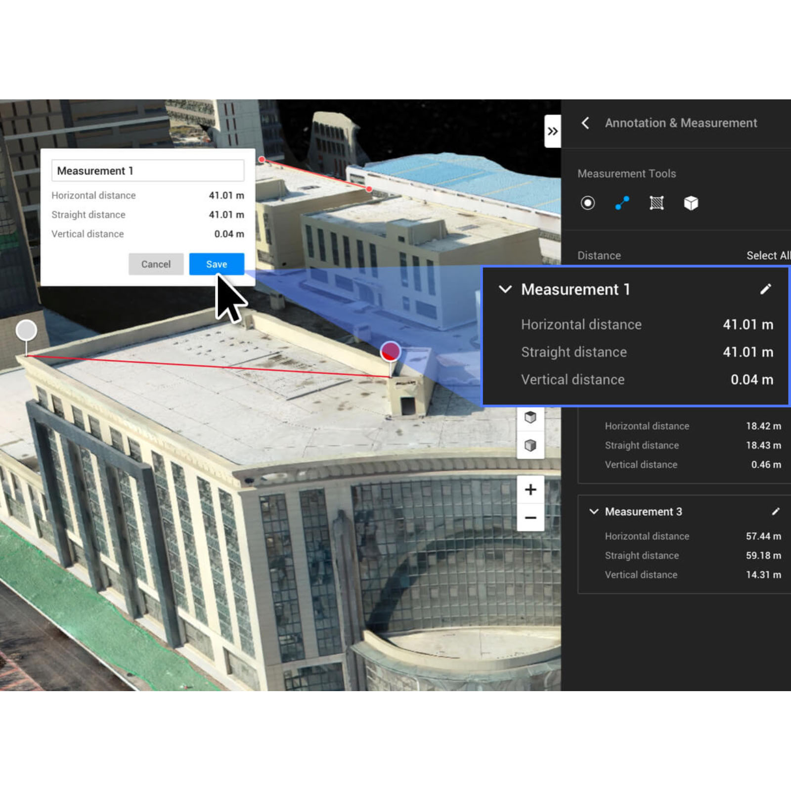
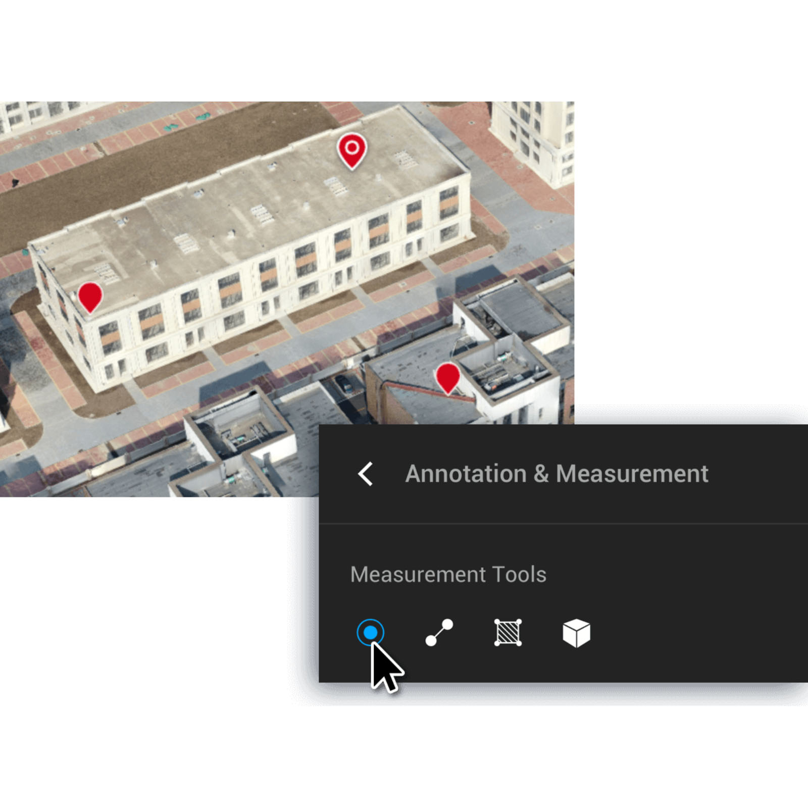
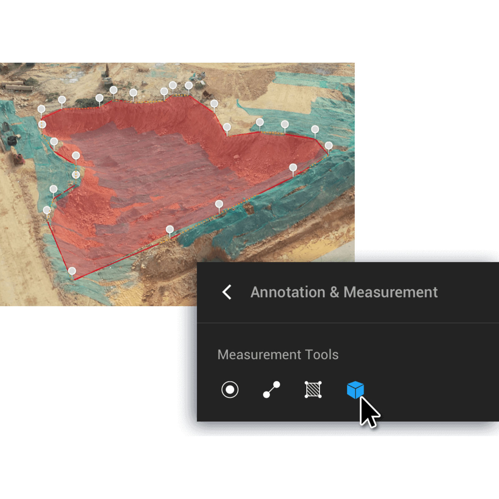
2D & 3D Measurements:
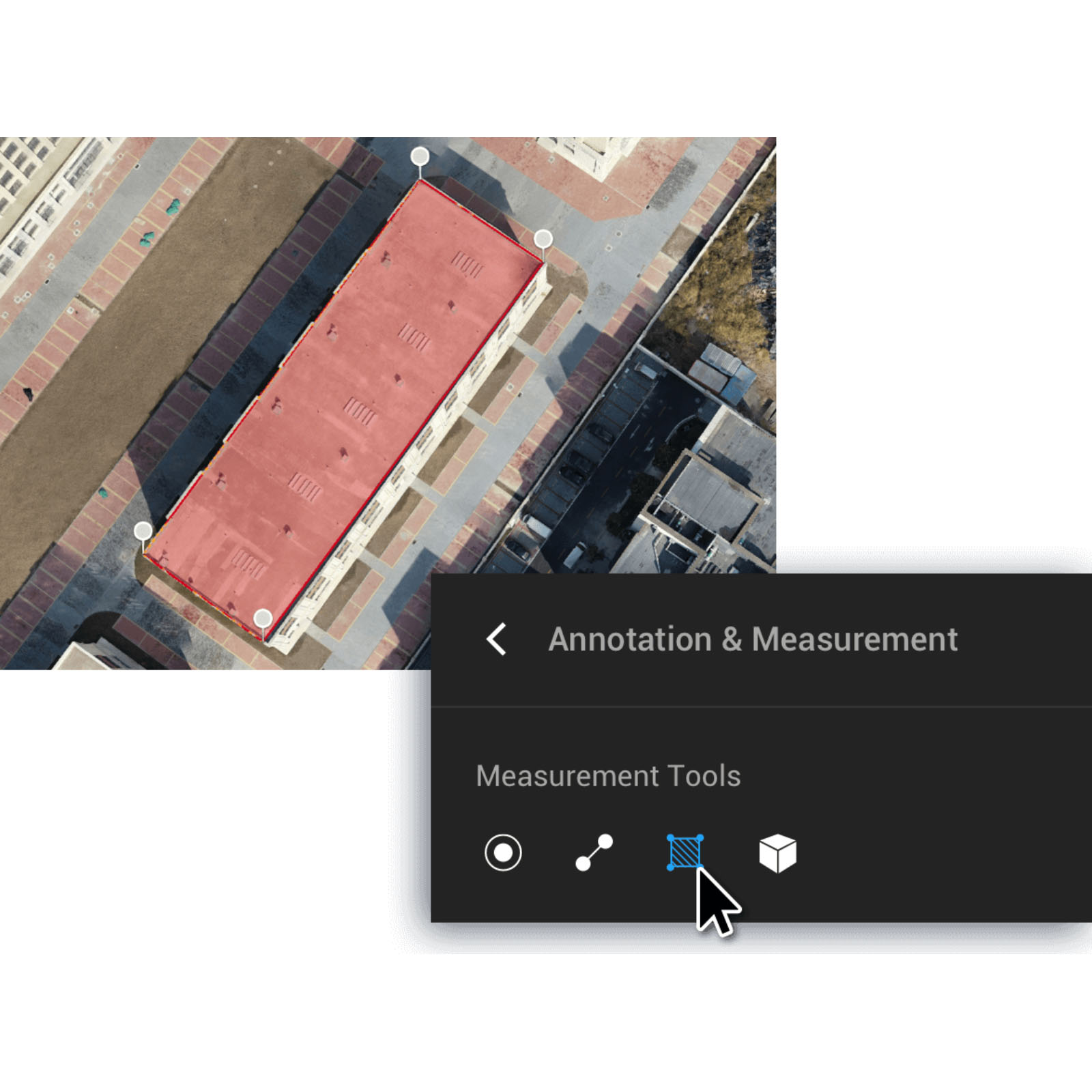
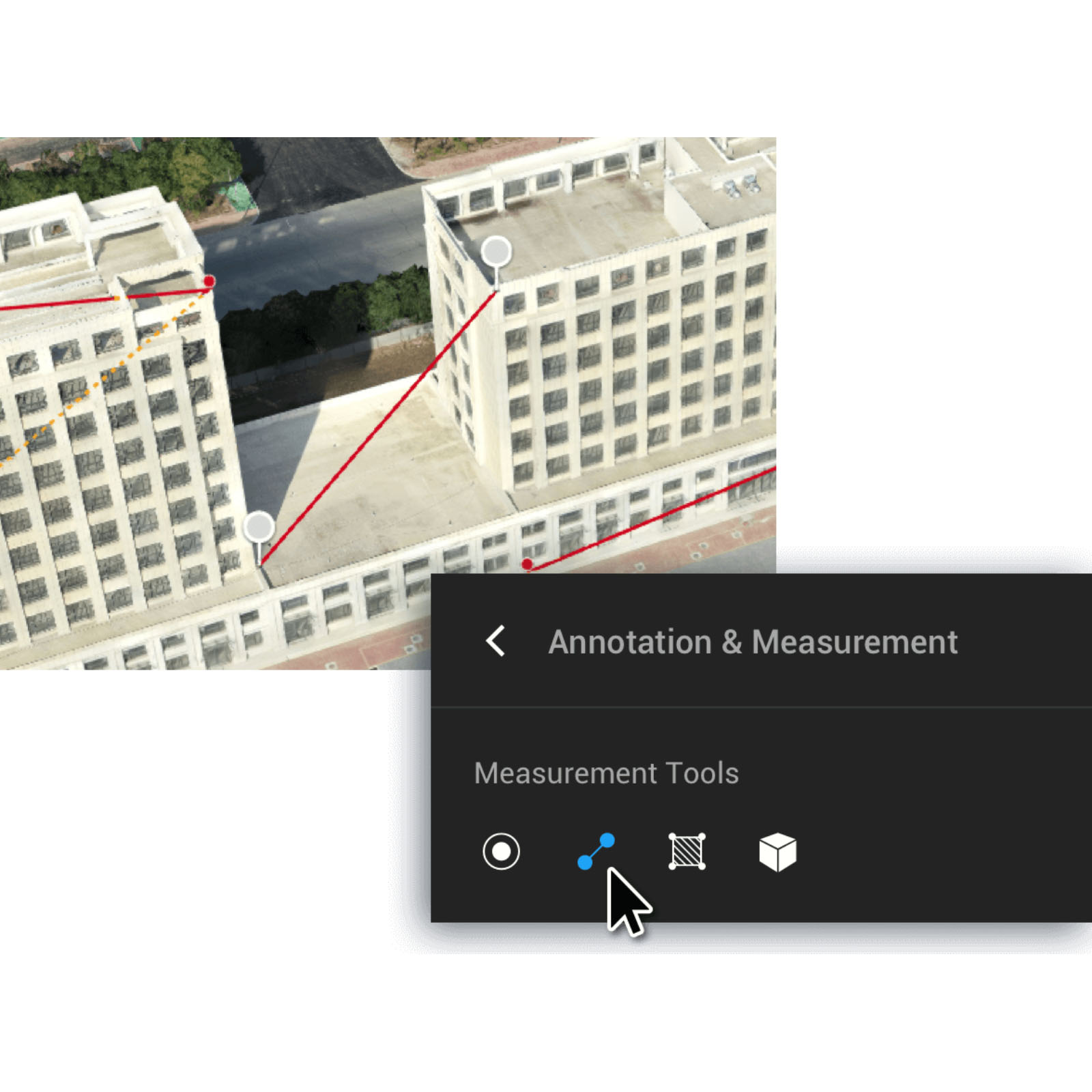
Acquire key dimensions across an array of terrains with easy-to-use analysis tools that enable you to obtain a variety of measurement data based on linear, area and volumetric measurements.
Coordinat
Distanc
Area
Volum
Annotation
Edit labels of measurements on existing models, which can be used for reporting and improving communication throughout ongoing Projects.
Photo Inspection
Closely inspect every photo of the model so you can pinpoint and highlight any critical elements in the real WORLD.
Seamless Connection with Your Fleet of DJI Drones
Use DJI Terra to plan and execute flights for:
Phantom 4 RTK
Phantom 4 Pro V2.0
Phantom 4 Pro+ V2.0
Phantom 4 Pro
Phantom 4 Advanced
Phantom 4.
The Beginning of Next Generation Mapping Solutions
Harness the power of AI-driven mapping solutions designed to take your industrial projects to the next level. Whether it’s object classification, site inspections and more, you can start developing task-specific mapping solutions to seamlessly carry out missions.
Data acquisition
Define mission objective, plan desired flight plan, and with a tap of a few buttons, autonomously collect critical data so you can achieve the required Outcome.
Data Processing
Utilize refined image recognition technology to generate 2D and 3D data, resulting in a more realistic representation of your assets, objects, surroundings and more.
Data Application
Implement tools and machine learning techniques, which can be used across a variety of different industries – like classification algorithms for identifying trees, objects, and other Scenarios.
Execution
Take the required action, and enjoy more efficient processes with machine control – be it automated crop spraying, monitoring work sites, transporting materials and more.
Terra Licenses
| Funktionen/ Version | Advanced | Pro | Electricity |
| Real-time 2D Mapping | Yes | Yes | Yes |
| Agricultural application | Yes | Yes | Yes |
| KML file import | Yes | Yes | Yes |
| 2D Reconstruction (Field) | Yes | Yes | Yes |
| 2D Reconstruction (Urban) | Yes | Yes | Yes |
| 3D Reconstruction | No | Yes | Yes |
| 3D Mission planning | No | Yes | Yes |
| GCP | No | Yes | Yes |
| GCP-administration | No | No | Yes |