
DJI Mavic 3M RTK + 2B Bundle




* Prices incl. VAT
Free shipping
Available - Delivered in 2-5 days
- Order number: 102988

Would you rather speak with the MusoTec team? You'll find the contact options above!
DJI Mavic 3M RTK + 2B Bundle
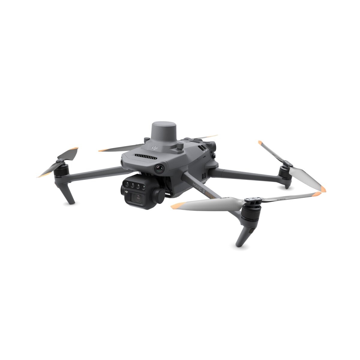
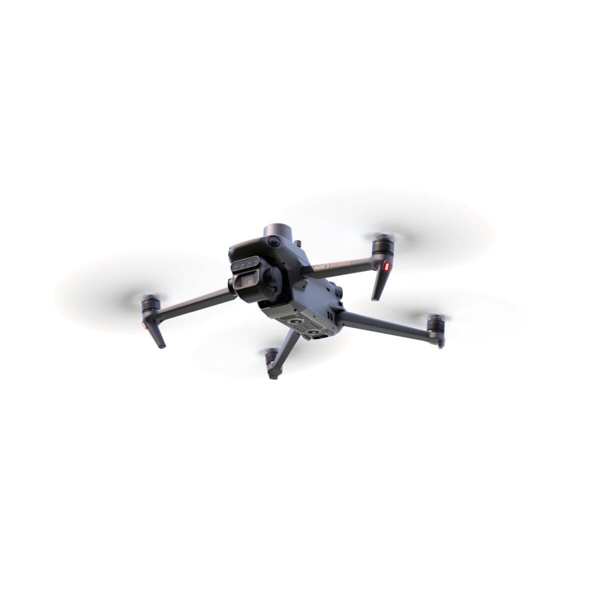
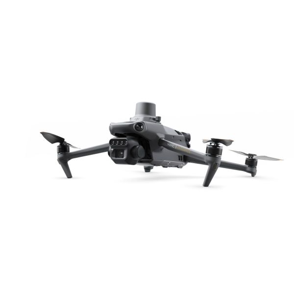
This bundle contains the DJI Mavic 3M Standard Drone with RTK Module incl. accessories and one battery + 2 x additional Enterprice Battery
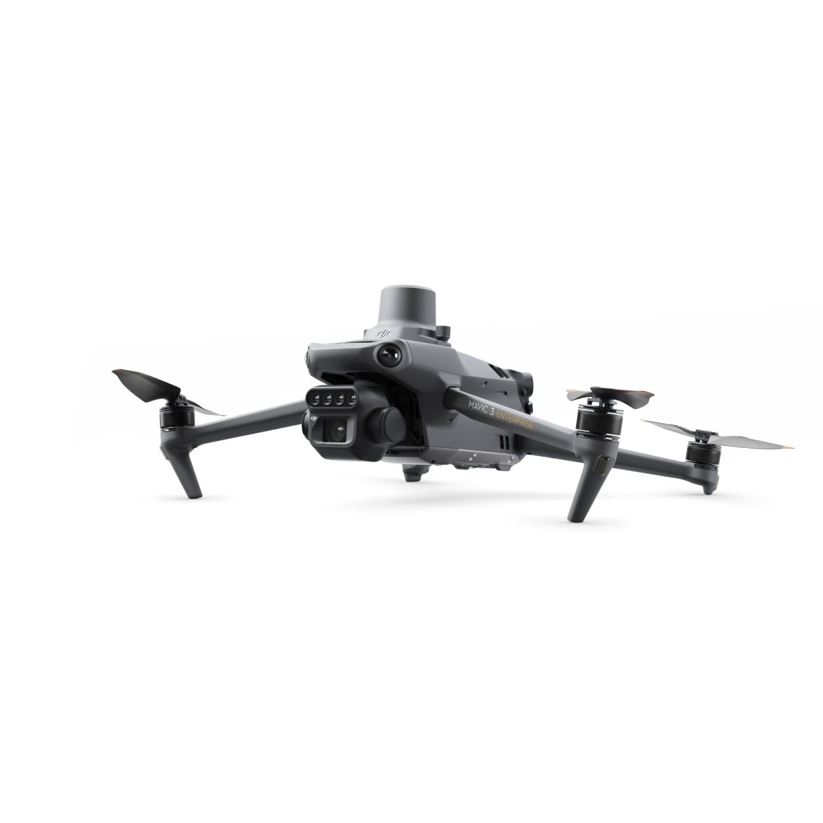
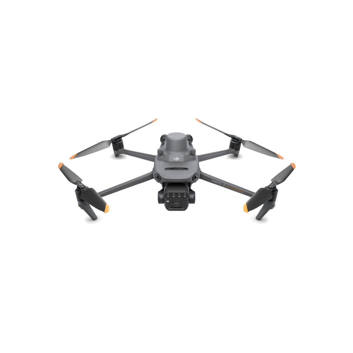
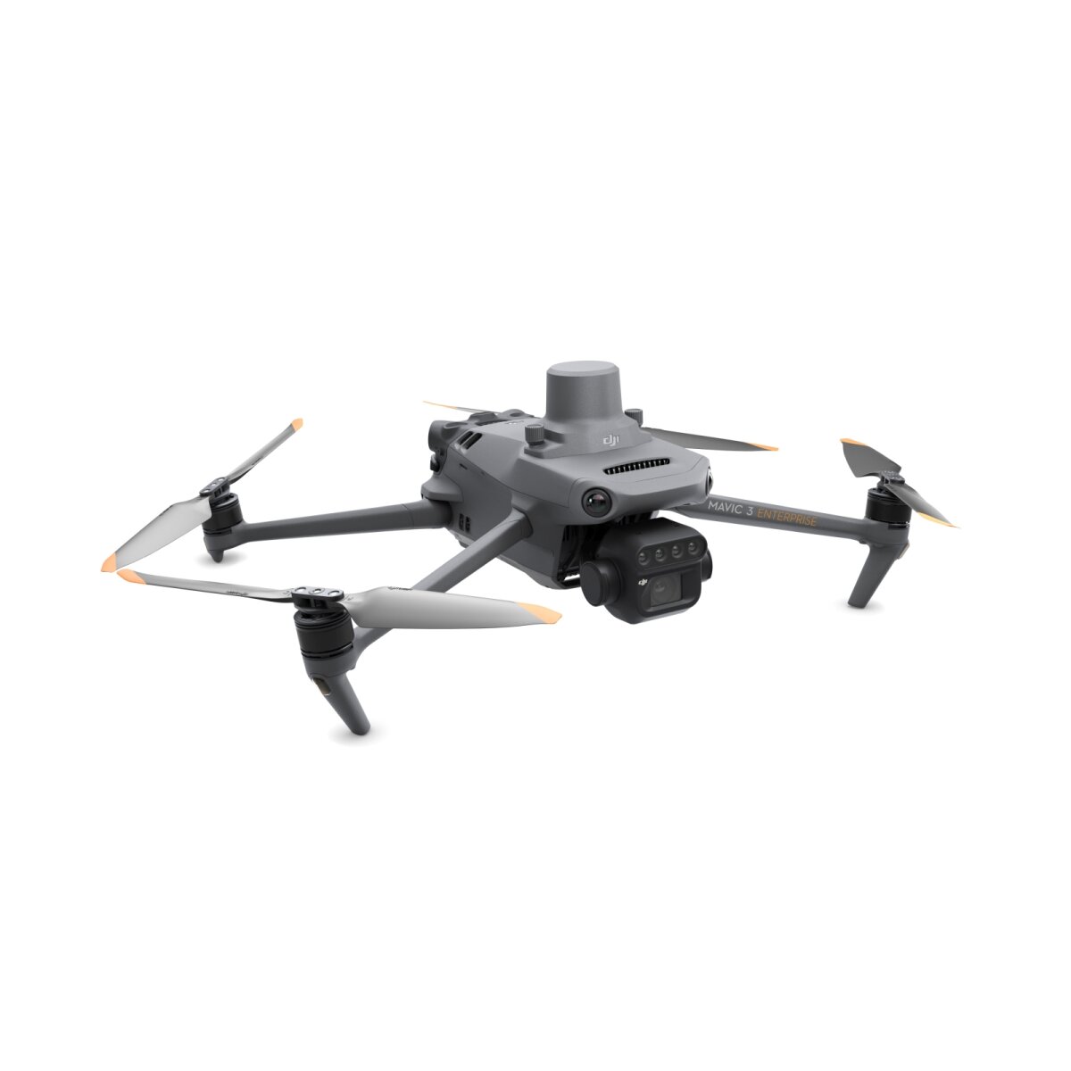
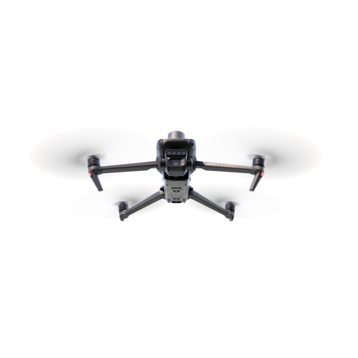
DJI Mavic 3M - See more, work smarter
Effective aerial surveying needs to be able to see the invisible. That's why the Mavic 3 Multispectral has multiple cameras to give you multiple views. It combines an RGB camera with a multispectral camera to scan and analyse crop growth with absolute precision. Precision agriculture requires relevant detail and data, and the Mavic 3M delivers both.
Compact and handy
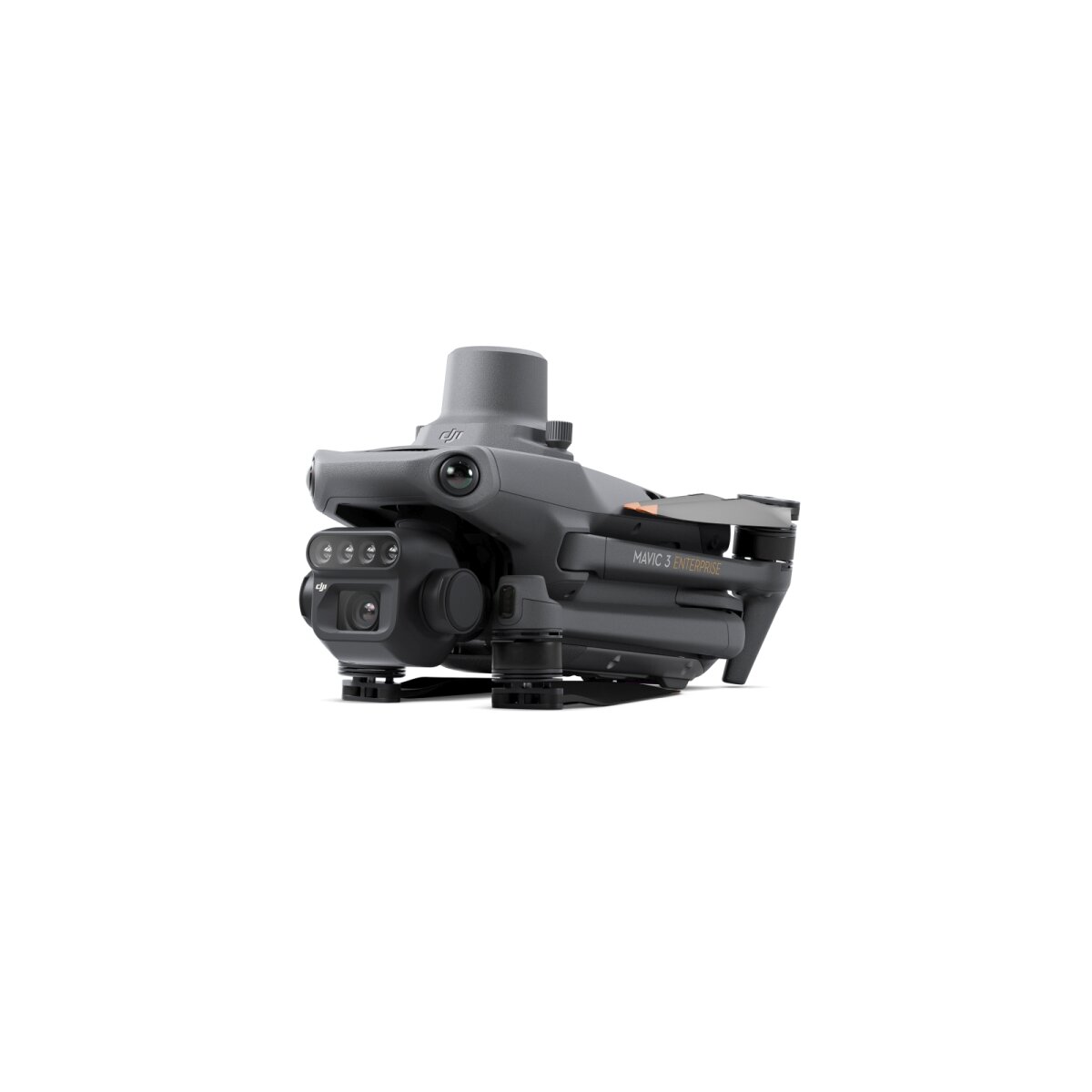
Foldable for easy storage
Multispectral camera
4 × 5 MP G/R/RE/NIR
RGB camera
20 MP 4/3 CMOS, mechanical shutter
Safe and stable
Omni-directional obstacle avoidance
Up to 15 km transmission range (in FCC mode)
Precise positioning
RTK positioning to centimetre accuracy
Time synchronisation accurate to the microsecond
Efficient aerial survey
Up to 200 hectares per flight
Multispectral + RGB image processing system
Highly integrated image processing system
New, improved image processing system with one 20 MP RGB camera and four 5 MP multispectral cameras (green, red, red edge and near infrared). Enables applications such as high-precision aerial surveying, plant growth monitoring and natural resource surveying.
5 MP multispectral camera
-
Near Infrared (NIR) 860 nm ± 26 nm
-
Red Edge (RE) 730 nm ± 16 nm
-
Red ® 650 nm ± 16 nm
-
Green (G) 560 nm ± 16 nm
RGB camera features
-
4/3 CMOS 20 MP camera sensor
-
1/2,000 s Fastest mechanical shutter speed
-
0.7 s High-speed continuous shooting when using the RGB camera
Sunlight sensor
The built-in sunlight sensor detects solar radiation and records it in an image file, enabling light compensation of image data during 2D reconstruction. This results in more accurate NDVI results and improved accuracy and consistency of data collected over time.
RTK module - Precise images that capture every pixel
Mavic 3M with RTK module for centimetre-precise positioning. The flight controls, camera and RTK module are synchronised in microseconds to accurately determine the position of the centre of each camera shot every time. This enables the Mavic 3M to perform high-precision aerial surveying without control points.
Efficient and reliable battery life
Ultra-long battery life, fast continuous shooting
Up to 43 minutes flight time
200 hectares
A single flight can conduct mapping missions over an area of up to 200 hectares.
Fast charging
Battery charging station (100 W) Highly efficient fast charging capability
Fast charging with 88 W flight unit
Stable signal, smooth image transmission
O3 transmission integrates two transmit signals and four receive signals to support ultra-long transmission ranges of 15 km.
Omni-directional obstacle avoidance, terrain-following aerial survey
The aircraft has multiple wide-angle vision sensors that accurately detect obstacles in all directions to provide omni-directional obstacle avoidance. Terrain-following aerial survey can be easily performed in landscapes with steep slopes.
Applications
Orchard mapping
The Mavic 3M enables terrain-following aerial mapping of orchards, even in landscapes with slopes. Together with the DJI Terra or DJI SmartFarm [6] platforms, you can reconstruct high-resolution maps of orchards, automatically detect the number of trees, distinguish trees from other obstacles or objects, and create three-dimensional flight routes for agricultural drones to make operations safer and more efficient.
-
Mavic 3M aerial survey
-
Mapping with DJI Terra / DJI SmartFarm [6].
-
Generate 3D routes
-
Agricultural drone operations
Guiding variable applications
For rice fertilisation, cotton growth regulation and potato leaf fertiliser spraying, the Mavic 3M is used to obtain multispectral images of crops. DJI Terra or DJI SmartFarm [6] can then generate maps with NDVI and other vegetation indices, capture differences in crop potential and create application maps that allow agricultural drones to perform variable applications. This will ultimately enable farmers to reduce costs, increase yield and protect the environment.
-
Mavic 3M aerial survey
-
DJI SmartFarm
-
Generates application maps for farmland
-
Agricultural drone
Intelligent field analysis
The Mavic 3M can perform automatic field analysis. The field analysis images can be uploaded to the DJI SmartFarm [6] in real time via a 4G network. It can detect anomalies such as pest infestations, weed growth and crop development deficits at an early stage. It can also perform intelligent analysis, such as cotton seedling identification and rice production tests, using AI identification for real-time sharing of crop growth information, guidance of agronomic activities and easy management of 70 hectares of farmland by one person.
Environmental monitoring and natural resource surveying
The Mavic 3M can also be used in environmental monitoring and natural resource surveying, such as water recharge monitoring, forest distribution surveying, urban green space surveying and more.
-
Monitoring water eutrophication
-
Measuring forest cover
-
Surveying urban vegetation
-
Open ecosystem
Cloud API
The Mavic 3M can connect directly to a third-party cloud platform using the MQTT protocol via DJI Pilot 2's built-in cloud API. There is no need to develop a standalone app to enable the transfer of drone device information, livestreams, photo data and other information.
MSDK
The Mavic 3M supports Mobile SDK 5 (MSDK5) with a fully open-sourced code sample. The MSDK5 is user-friendly and enables, for example, the development of a proprietary app to perform routine agricultural drone flights, smart surveying and other scenarios.
In the box:
1x Mavic 3M Drone
3x Mavic 3 Enterprice Battery
1x RTK Modul
1x MicroSD card 64GB
1x Gimbal protection
3x Mavic 3 Enterprise Propeller (Pair)
1x DJI RC Pro Enterprise
1x Screwdriver
1x DJI USB-C power adapter (100W)
1x AC cable for 100W power supply unit
1x USB-C cable
1x USB-C to USB-C cable
1x Hard shell case
3-month trial license of DJI Terra Pro software included!
12-month Licence für DJI SmartFarm platform icluded!